Contact Webmaster
This page last updated February 2008.
|
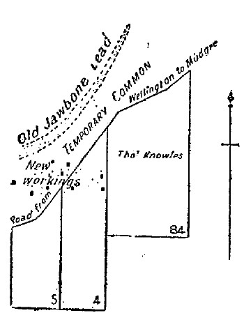
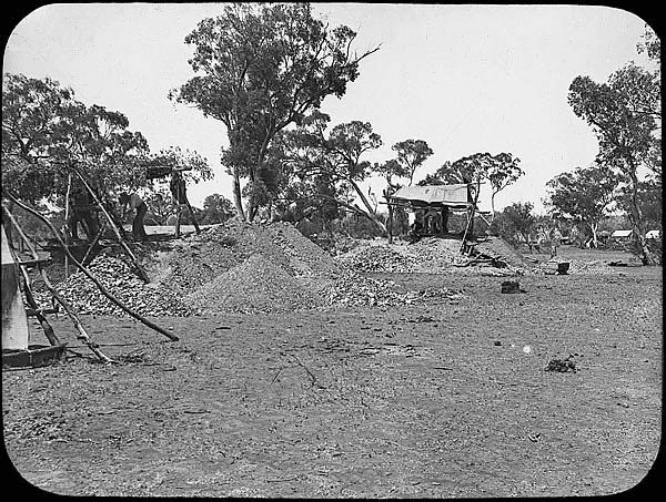
Alluvial goldfield Old Jawbone - early 1870's When mining records first started in 1875, the alluvial workings at Jawbone, adjacent to the Wellington, Mudgee road, had already been abandoned. They were described in 1875 as being:-
'-- about 3 miles in length, by 1/4 mile in width; character of deposit, drift at a depth of 33ft to 60ft; gold found in patches; yield from 1 to 12 dwts. per load'.
A small township developed here, not only to service the miners but also the passing traffic on the main road.
In a report in 1900 the Government Geologist, E.F. Pittman, described the old workings;
'In the early seventies an alluvial lead known as the Old Jawbone was worked in the vicinity of the present rush; it was, on the whole, not very productive, the bottom being somewhat uneven and the gold patchy; the auriferous contents were probably derived from the denudation of the Mitchell's Creek reef, which is situated a short distance north of the old lead'.
|
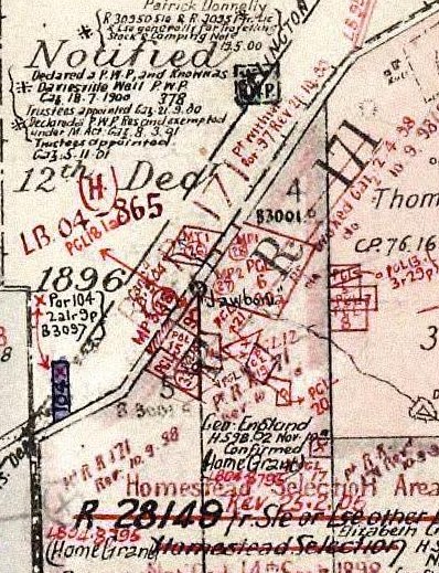
The old parish map shows a cluster of gold leases around the main road from Wellingon to Mudgee, just south of the Daviesville Well near the Bodangora turnoff. The 'Lechidale' homestead is at the top right of this map. The purple block 104X at the bottom left is the site of the Jawbone Public School. The date of the image titled 'Jawbone - Bodangora' is undated. |
|
NSW Dept. Lands - online Parish & Historic Map resource NSW Dept. Mineral Resources - online DIGS resource Wellington Times archives Barbara Preston |

